Tianqiong Sensor IOT Technology Co., Ltd
Sales Manager:Ms. Emily Wang
Cel,Whatsapp,Wechat:+86 15898932201
Email:info@fengtutec.com
Add:No. 155 Optoelectronic Industry Accelerator, Gaoxin District, Weifang, Shandong, China


Sales Manager:Ms. Emily Wang
Cel,Whatsapp,Wechat:+86 15898932201
Email:info@fengtutec.com
Add:No. 155 Optoelectronic Industry Accelerator, Gaoxin District, Weifang, Shandong, China
time:2025-10-13 09:05:33 source:Weather Station viewed:430 time
In the field of geological hazard monitoring and early warning (such as landslides, collapses, ground subsidence, debris flows, etc.), GNSS monitoring stations are a core technical means used for accurately measuring surface displacement and deformation.
GNSS equipment precisely determines its absolute coordinates (longitude, latitude, elevation) on Earth by receiving signals from global navigation satellite systems (such as China's Beidou, the United States' GPS, Russia's GLONASS, and the European Union's Galileo).
The GNSS receiver antenna at the monitoring station continuously receives radio signals transmitted by multiple navigation satellites. The receiver processes these signals internally or through background software, using precision algorithms such as "carrier phase difference" to calculate the three-dimensional coordinates of the antenna phase center in the WGS84 coordinate system.
By comparing coordinates calculated at different time intervals (e.g., every second, minute, or day) with initial coordinates or coordinates from the previous period, the displacement amount, displacement rate, and cumulative displacement amount of the monitoring point in the east, north, and vertical directions can be determined.
In geological hazard monitoring, a network mode of "reference station + monitoring station" is usually adopted.
Reference Station: Installed in areas far from hazard bodies with stable and unchanging geological conditions. It provides a stable coordinate reference datum for the entire monitoring network.
Monitoring Station: Deployed at key points on hazard bodies (such as landslide bodies, subsidence areas). These stations displace along with the deformation of the hazard body.
Data Processing: By performing joint differential calculation on the observation data from monitoring stations and reference stations, common errors such as satellite clock errors, receiver clock errors, and atmospheric delays can be significantly eliminated, thereby improving the horizontal displacement accuracy of monitoring points to the millimeter level and vertical displacement accuracy to the centimeter level.
Advantages:
Unaffected by weather conditions and day-night cycles, providing 24-hour uninterrupted real-time data
Capable of simultaneously acquiring displacement information in three directions: horizontal (east-west, north-south) and vertical (elevation), comprehensively reflecting the deformation characteristics of hazard bodies
A single reference station can provide reference services for multiple monitoring stations within a certain range (usually tens of kilometers), suitable for monitoring large-scale geological hazards
Provides absolute position information based on a global coordinate system, facilitating large-scale, long-term deformation trend analysis without cumulative error effects
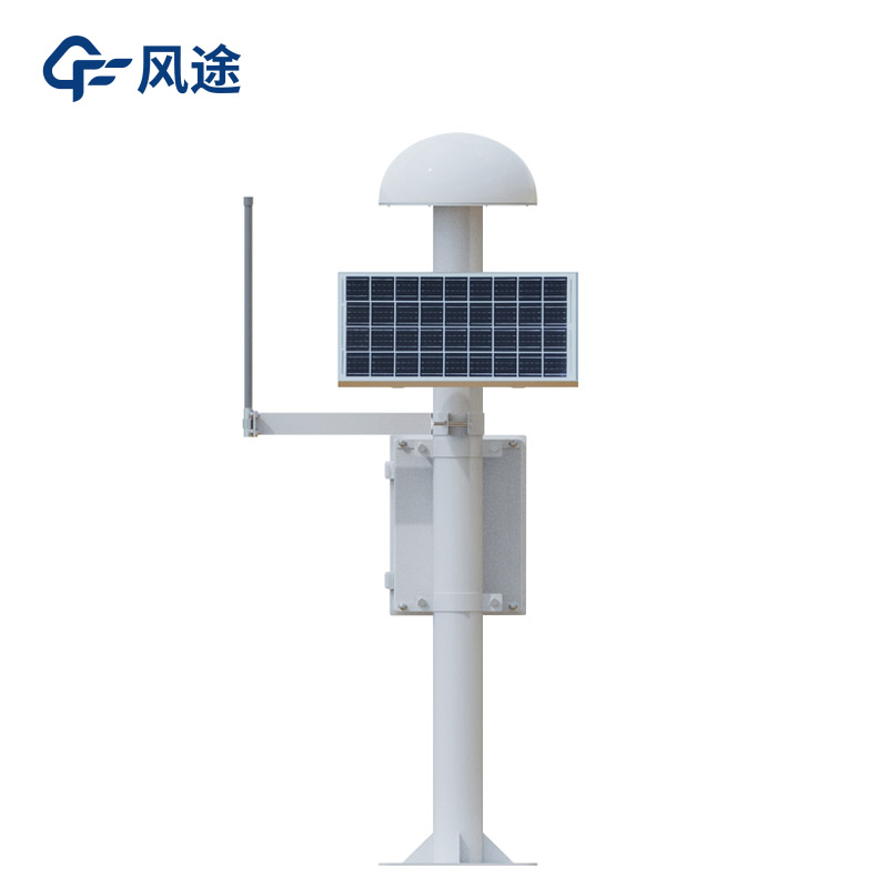
The Geological Monitoring System employs Differential RTK technology to achieve millimeter-level displacement monitoring, making it suitable for the automated early warning of geological hazards such as landslides, rockfalls, and debris flows. Comprising GNSS monitoring stations, data acquisit...
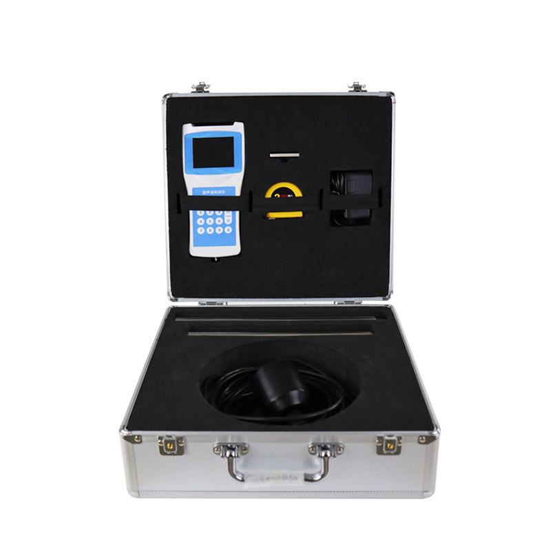
Handheld Anemometer is an instrument used to measure air flow speed and direction. It features automatic monitoring, real-time display, and over-limit alarm functions, and is widely used in meteorology, environmental monitoring, and industrial safety....
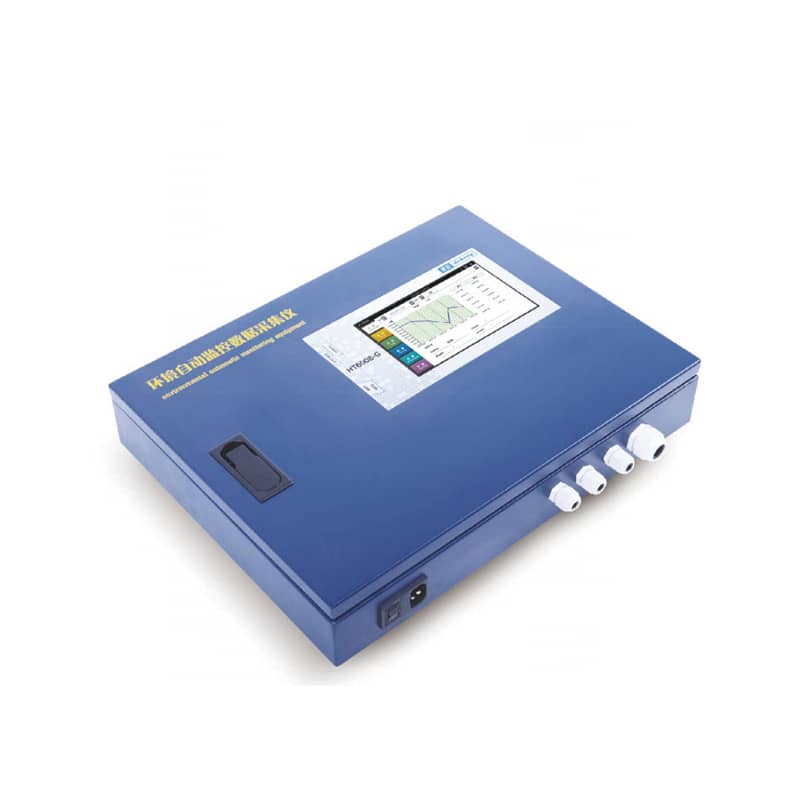
The water quality online monitoring micro-station integrates units for water sampling and distribution, analysis, and quality control. Core parameters—including total phosphorus, total nitrogen, chemical oxygen demand (COD), permanganate index, and ammonia nitrogen—are determined in strict a...
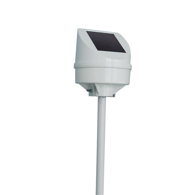
In low-temperature and snowy weather, bridge icing is a serious problem. Bridge icing not only affects the stability of the bridge structure and shortens its service life, but also poses a great threat to the safety of passing vehicles and pedestrians, and is extremely likely to cause traffic accide...


 Skype
Skype
 whatsapp
 mail
mail